File:Aerial-t25n-r39ewn.png: Difference between revisions
Jump to navigation
Jump to search
(Aerial photograph of part of township 25 north range 39 east Williamette Meridian) |
No edit summary |
||
| (One intermediate revision by the same user not shown) | |||
| Line 1: | Line 1: | ||
== Summary == | == Summary == | ||
Aerial photograph of part of township 25 north range 39 east Williamette Meridian | Aerial photograph of part of township 25 north range 39 east Williamette Meridian | ||
[[Category:Maps]] | |||
Latest revision as of 07:55, 14 February 2023
Summary
Aerial photograph of part of township 25 north range 39 east Williamette Meridian
File history
Click on a date/time to view the file as it appeared at that time.
| Date/Time | Thumbnail | Dimensions | User | Comment | |
|---|---|---|---|---|---|
| current | 13:31, 1 November 2022 | 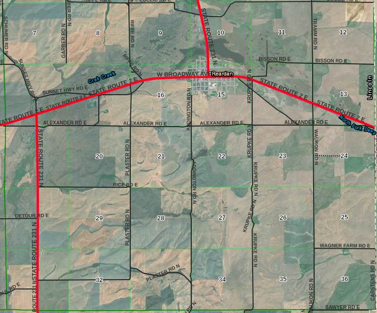 | 767 × 638 (880 KB) | Kirk (talk | contribs) | Aerial photograph of part of township 25 north range 39 east Williamette Meridian |
You cannot overwrite this file.
File usage
The following page uses this file: